

Projects


Adelaide SURVEY Projects
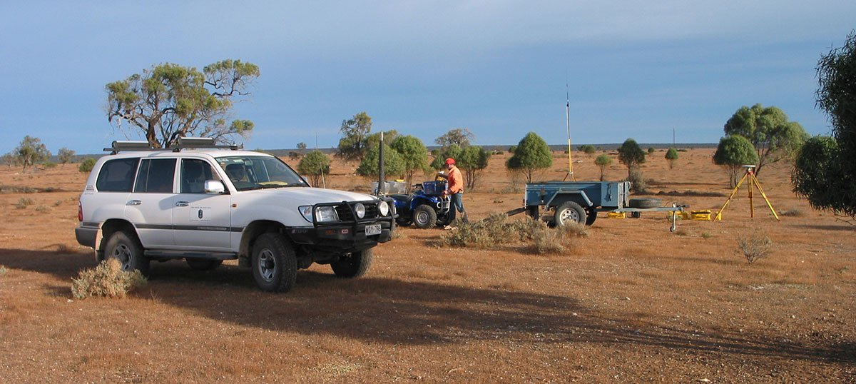
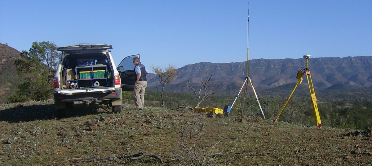
John Bested Surveyors provide professional surveying services on both small and large projects throughout South Australia
Port Doc Railway Project - Laser Scan Survey of Carpark and Road Network
Engineering survey of Port Doc Railway, Carpark and surrounding road network. Field Survey carried out using terrestrial laser scanning, all string and point data extracted and delivered in MX Genio and AutoCAD DXF. Conventional survey techniques used for the survey of all underground services.
Port Doc Railway Project - Laser Scan Survey of Railway Museum
Engineering survey of Port Doc Railway Museum, Field Survey carried out using terrestrial laser scanning, all string and point data extracted and delivered in MX Genio and AutoCAD DXF. Conventional survey techniques used for the survey of all underground services.
APY Lands Engineering UAV Survey - CH25 to CH26 Fly through
Aerial fly through from Chainage 25km to Chainage 26km. The Engineering Survey was for the APY Lands Main Access Road upgrade comprising 145km from Iwantja (Indulkana) to Kaltjiti (Fregon). http://www.dpti.sa.gov.au/apylands
http://minister.infrastructure.gov.au.
Engineering Survey at MM432 on the Stuart Hwy
Engineering Survey located at MM432 on the Stuart Hwy to facilitate the design and construction of a Truck Parking Bay for the Department of Transport Planning and Infrastructure SA. Field Survey carried out using both conventional and UAV Survey techniques. All string and point data extracted and delivered in MX Genio and AutoCAD DXF in accordance with Engineering Survey Specification SUR-CT003. Conventional survey techniques used for the survey of all underground services.
Oodnadatta Track Engineering Surveys
Engineering Surveys located at six locations along the Oodnadatta Track between Marla and Oodnadatta. Surveys are required for road design and flood mitigation purposes for the Department of Transport Planning and Infrastructure SA. Field Survey carried out using both conventional and UAV Survey techniques. All string and point data extracted and delivered in MX Genio and AutoCAD DXF in accordance with Engineering Survey Specification SUR-CT003.
Golden Grove Road - Laser Scan Engineering Survey
Engineering Survey – For the Department of Transport Planning and Infrastructure SA along Golden Grove Rd for the purpose of road design.
Survey carried out using a combination of both conventional and Laser Scanning techniques with all surface, point and string features extracted and results delivered in MX Genio / AutoCAD format in accordance with Engineering Survey Standard SUR-CT003
South Road - Laser Scan Engineering Survey
Engineering Survey – South Road between Corunna Ave and Dunorlan Rd Melrose Park as part of Metro Bundle Engineering Survey Package for the Department of Transport Planning and Infrastructure SA.
Survey carried out using Laser Scanner with all surface, point and string features extracted and results delivered in MX Genio / AutoCAD format in accordance with Engineering Survey Standard SUR-CT003.